43 miles on Monday Night, May 29, 2023
Where?
Meet at Fort Rock Brewing or in the parking lot on the E. Side of the building 6:45 PM near Folsom and Hazel
Meet at 6:45, roll out at 7:15 PM.
This is a one-way ride — Best way to arrive is via transit: Take the SacRT Gold Line Train arriving Hazel Station at 6:41 PM and then cross the street to the very sad looking Nimbus Winery Mall.
Note that SacRT Gold Line’s Sun/Holiday schedule will be in effect and that trains to the Hazel station run at 30-minute headways. If you’re late, know that the ride will be working its way west along highway 50 and you can meet us at any crossing point that you think will be nice enough to attract social bike riders.
Fort Rock Brewing is on the northeast corner of the sad Nimbus Winery Mall building. There is an undersized, forlorn bike rack hidden among brewing junk and partially blocked by cement planters at the NE corner of the mall building, and there’s another rack on the west side of the building that is a little more obvious but it also looks like a wooly mammoth tried to uproot it. On the other hand, the Fort Rock Brewing Company has a cement floor and a lot of room — one might be able to pull a bike directly into the customer area without raising any staff eyebrows. One might even be able to ride their bike down the legnth of the bar with a long straw, surreptitiously sippin’ at patrons’ beers as they passed.
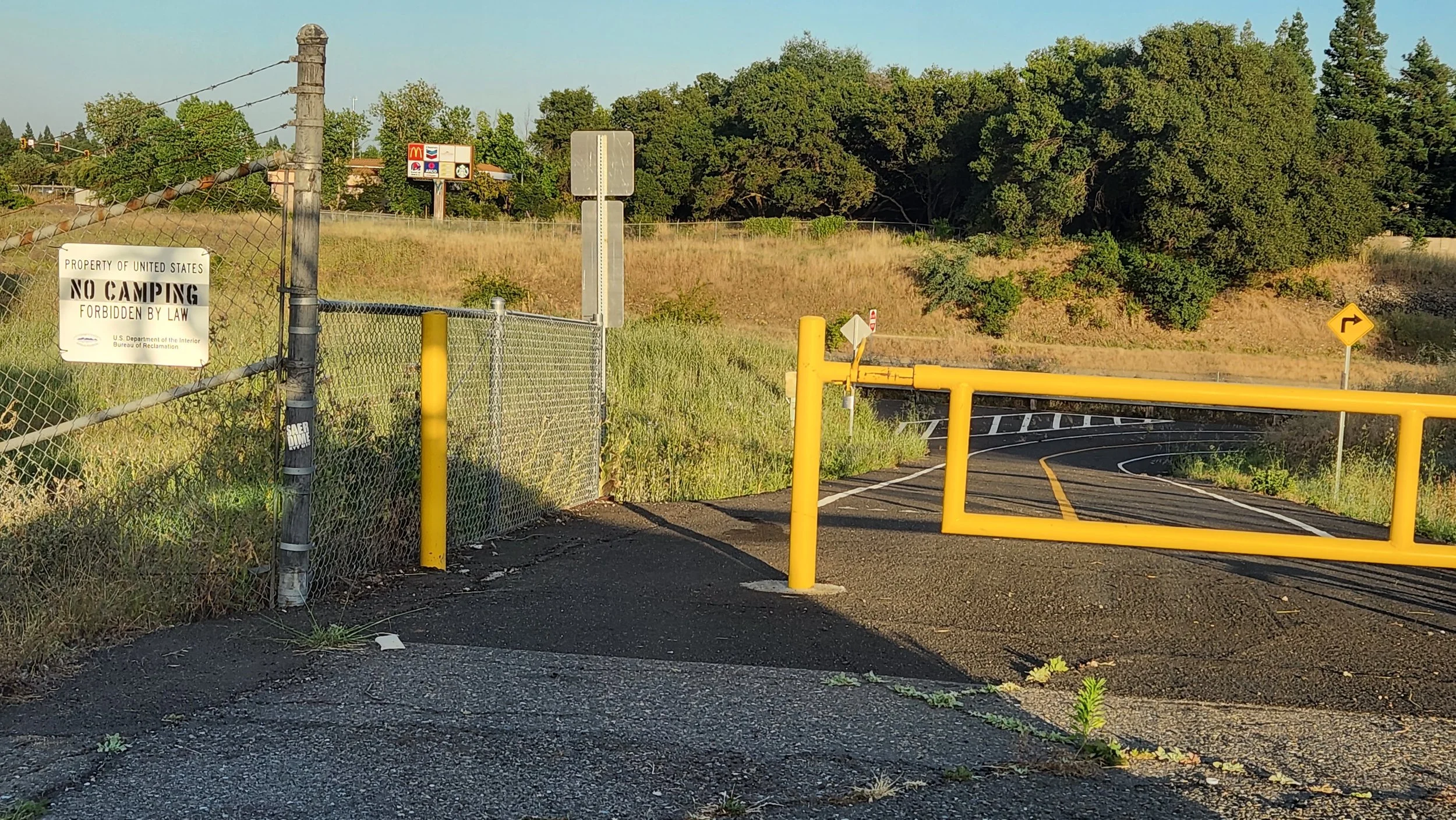
The ride will end near U.S. 50 and Westacre Road in West Sacramento. That’s within 1,000 feet of the Yolobus 42A/42B routes (last busses depart after 11 PM on Memorial Day) and about 2 miles from Downtown Sacramento (Light Rail will stop running at 9 or 10 PM - the ride may end too late for evening light rail trains on Memorial Day)
When?
At 7:15 we’ll depart Fort Rock Brewing. Show up at 6:45 if you’d like some social pre-ride time.
What?
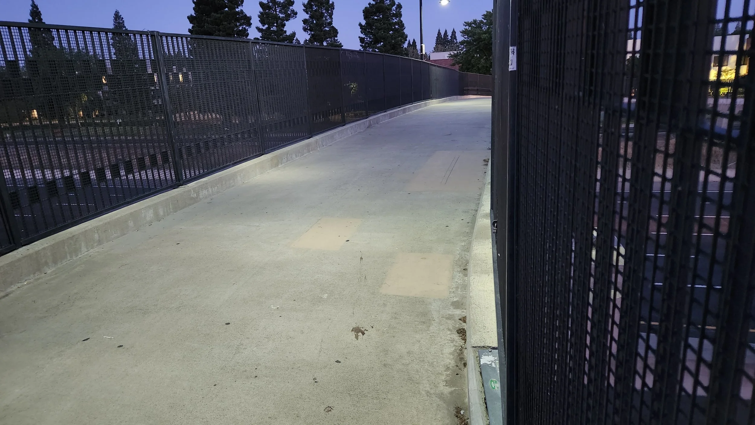
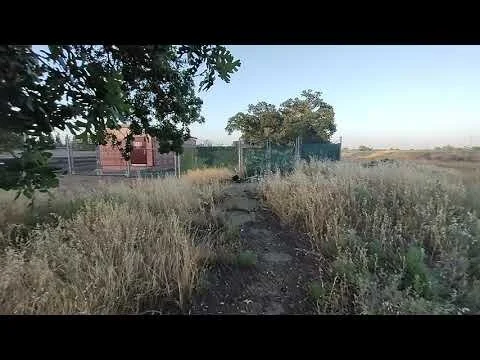
From the American River bike trail’s U.S. 50 overcrossing near the Folsom Automall to Westacre Road in West Sacramento, U.S. Highway 50 offers some of the best and worst ways to cross a freeway in the Sacramento area. We’re going to take a look at only the best ways and we’ll be skipping over the rest. We’ll be crossing 50 on pedestrian overcrossings, Class I bikeways, at least one short dirt path, a Class IV Cycle Track, and mixed-traffic routes with good conditions. We’ll be staying far away from crossings with freeway ramps or other aggressive traffic patterns because we want to keep it safe, and aggressive traffic patterns aren’t fun for bicyclists and other living things.
43-Mile Ride: Prepare
The route is about 20 miles as the crow flies, but since we’ll be zig-zagging across Hwy 50, our route is 43 miles.
Bring a light
Be reflective
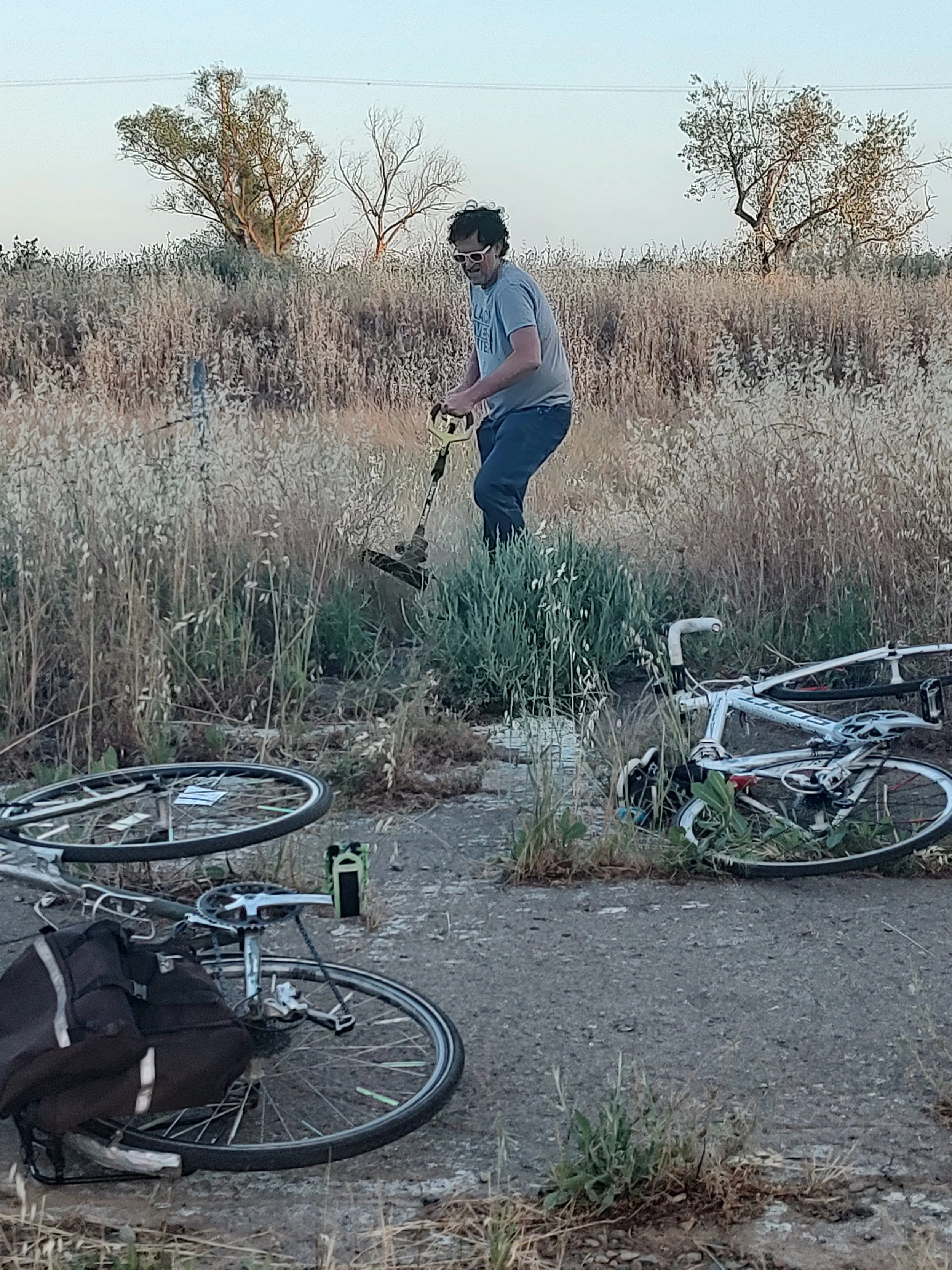
Bring a spare tube
Bring a bike pump to use for yourself and to share with others
The ride is not supported, but we’ll do our best to leave no rider behind
Our riding pace will be approx. 12 mph
We’ll also make frequent stops at each crossing of Highway 50 to regather the group
If this sounds like it might be too much for you, consider meeting us along the way or bailing early. Almost the entire ride is within a mile of a SacRT Gold Line Station. This ride will not be ‘swept’, but you can consider the Westbound SacRT Gold Line to bee your ‘sweep train’: the last SacRT Gold Line Train to Downtown Sacramento leaves Sunrise Station at 9:43 PM and arrives in Downtown Sacramento at 10:25 PM.
Know the route: see the route map here
FAQs:
Is this a supported ride?
Absolutely not. While I’m going to be leading the ride through the safest Highway 50 crossings, the ride is not supported in any way. I will make efforts to keep the group together. I will also make an effort to set a pace that everyone can keep up with. However, these efforts cannot accommodate every situation. I can and do loose people from these rides. Your choice to go on this ride means that you understand mechanical problems or getting lost may separate you from the group, and while we make an effort to keep the group together, it may not be possible. Because of all this, any rider joining us must understand the following:
You are responsible for having a map of the area
You are responsible for possessing the ability to summon help.
You are responsible for being able to find your way to the nearest SacRT Gold Line station and/or the nearest safe place.
You are responsible for having a backup plan of what to do if you find yourself separated from the ride and alone.
Why are you doing this ride?
I became interested in doing this ride because I noticed that when planning past bike rides, I was always able to plan more interesting routes around U.S. Highway 50 than around Interstate 80. I hypothesize that this is because U.S. Highway 50 hosts significantly more bike & ped-friendly crossing routes than do other highways in the Sacramento area. For example, Interstate 80 has only four Class I bike crossings and one Pedestrian Over Crossing in the 22 miles from West Sacramento to Roseville, but U.S. Highway 50 has six Class I bike crossings and two pedestrian overcrossings in the 27 miles from West Sacramento to Folsom, including an outstanding three Class I bike crossings and one Pedestrian Over Crossing in Rancho Cordova!
The ride also includes other crossings that aren’t official Bike Paths or Ped Over Crossings, but are still nice and relatively safe. There may be more of these across highway 50 because it has a lot of mileage that travels through less recently developed parts of the city. I wonder if the master-planned communities that began to crop up 50 or 60 years ago have poor access across freeways because they were planned to not have access across freeways. Anyway, freeways are big and in the way, and this ride supports people in their thoughts and thinking about bigness and in-the-way-ness.
Why is Highway 50 Special?
It may not be special. I know that State Route 99 has more pedestrian overcrossings than does U.S. Highway 50, so maybe the next ride should be “99 Problems but a Crossing ain’t One” I’ve got the crossing ‘data’ for this ride, maybe we’ll be able to do a comparative analysis of crossings on all of the highways/cross reference it with population size and other demographic characteristics and truly determine the best and worst highway in Sacramento. This could be a great class project for Sac State Sociology/Cartography/Geography and Information Science Students!
What about other highways, are there rides for them too?
TBD
Can one sing a song about this ride to the tune of Paul Simon’s 50 Ways to Leave Your Lover?
Yes. That is possible.